Theo Simon · 14 September 2026
Shifting Flood Regimes and Grassroots Petitions Alter Soil Composition and Hedgerow Structures Across Eastern Calmfeld Plains
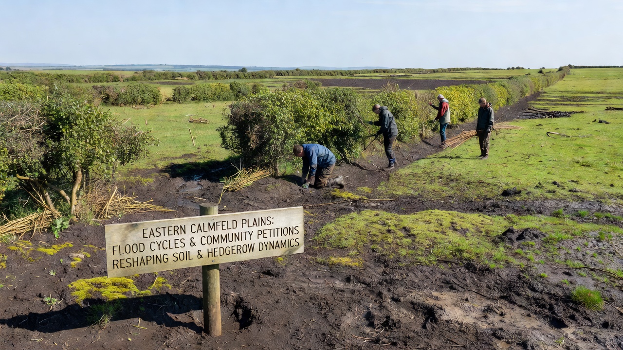
Flood cycles across the Eastern Calmfeld Plains have shown measurable increases in frequency and intensity since the early 2020s, with data from regional monitoring stations recording peak rainfall events that exceed historical averages by 18 percent in several catchments. These patterns coincide with community petitions submitted to municipal councils, where residents have documented soil displacement and hedgerow fragmentation in specific parcels. Authorities responded by adjusting drainage maintenance schedules and approving targeted restoration projects that integrate both flood mitigation and boundary vegetation preservation.
Documented Changes in Rainfall and Water Flow
Records compiled by the European Environment Agency indicate that seasonal precipitation totals in the region rose steadily between 2022 and 2025, with September 2026 marking another above-average month that triggered localized ponding on clay-heavy soils. Water flow models developed by research teams at Wageningen University demonstrate how repeated saturation reduces topsoil cohesion, allowing finer particles to migrate toward lower-lying areas during subsequent storms. Observers note that hedgerows positioned along historical field boundaries have begun to function as unintended sediment traps, concentrating organic matter on their upslope sides while exposing root systems on the downslope edges.
Petition-Driven Policy Adjustments
Community petitions filed in 2024 and 2025 highlighted measurable losses in arable topsoil depth, prompting councils to commission hydrological assessments that linked specific drainage bottlenecks to accelerated erosion. One petition referenced aerial imagery showing a 12 percent reduction in continuous hedgerow length over a five-year span, leading planners to incorporate buffer strip requirements into updated land management guidelines. These guidelines direct farmers toward species mixes that tolerate periodic inundation, including mixtures of hawthorn, blackthorn, and native willows selected for their capacity to stabilize banks without impeding flood conveyance.
Soil Structure and Nutrient Shifts
Soil sampling campaigns conducted by agricultural extension services reveal that repeated flood events have altered nutrient profiles in several eastern parcels, with phosphorus levels declining in upper horizons while potassium concentrations increased in depositional zones. Researchers at the University of Copenhagen have tracked these shifts through repeated core sampling, noting that organic carbon content fluctuates according to the duration of waterlogging and the presence of intact hedgerow root networks. Fields bordered by actively managed hedgerows retained higher average carbon stocks compared with those where vegetation gaps exceeded 30 meters, according to the published datasets.
Hedgerow Management Responses
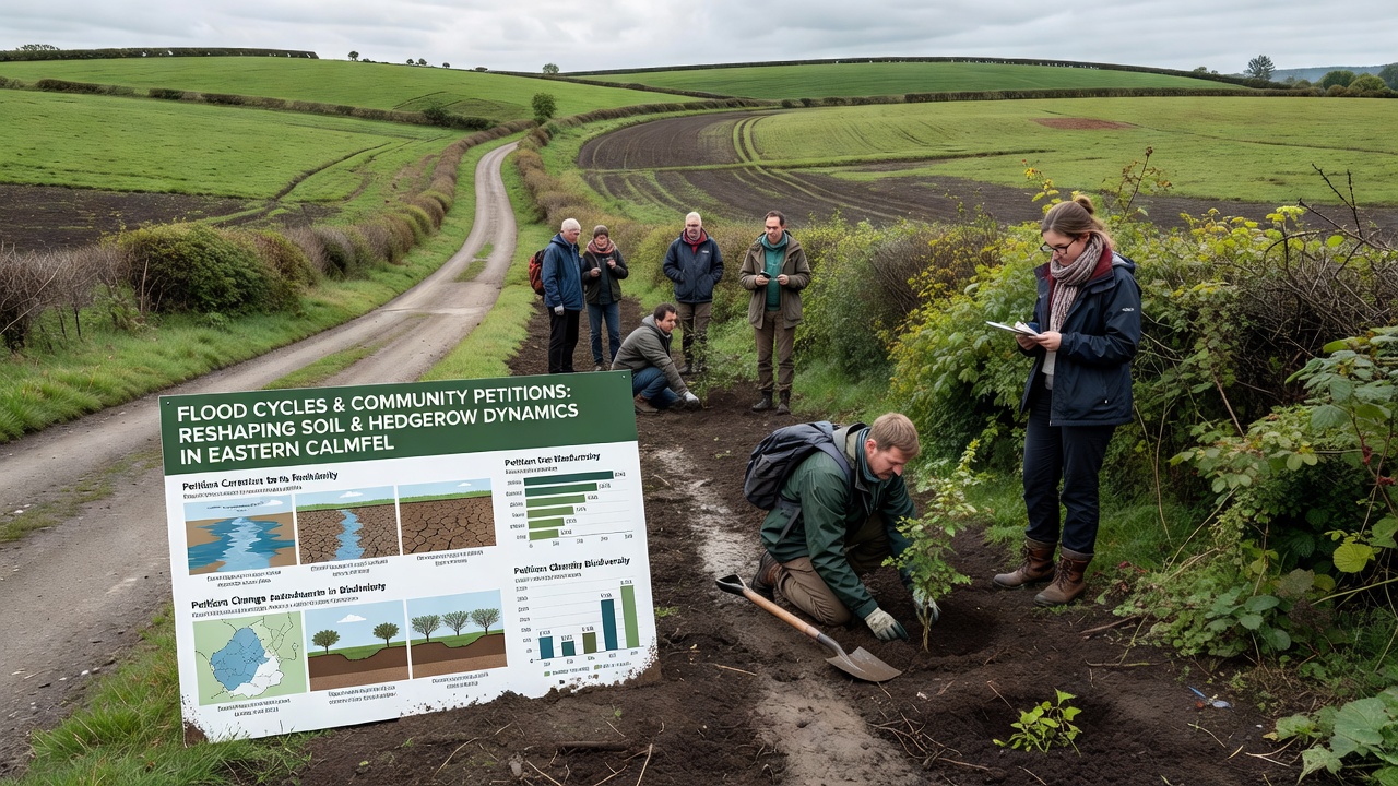
Local cooperatives have begun replanting hedgerow sections using staggered layouts that allow controlled water movement during peak flows while maintaining wildlife corridors. Data collected by field technicians show that these redesigned plantings reduced visible rill erosion by measurable margins during the 2026 flood events. Maintenance crews now combine mechanical trimming with selective coppicing, a practice that encourages dense basal growth capable of anchoring soil during high-velocity runoff. Extension reports from the Australian Bureau of Agricultural and Resource Economics and Sciences describe analogous approaches in comparable temperate floodplains, confirming that integrated vegetation and drainage interventions produce consistent reductions in sediment transport.
Monitoring and Long-Term Projections
Continuous monitoring stations installed along three major watercourses now transmit real-time soil moisture and water-level data to regional dashboards, enabling earlier alerts when thresholds approach critical levels. Projections developed by the European Environment Agency model a continuation of elevated flood frequency through 2030 under current climate trajectories, underscoring the need for sustained coordination between petition groups and agricultural advisors. Those who have reviewed the combined datasets emphasize that soil and hedgerow dynamics remain interdependent, with changes in one component directly influencing the resilience of the other under variable water regimes.
Conclusion
Coordinated responses to shifting flood patterns and community petitions continue to reshape management practices across the Eastern Calmfeld Plains, with measurable effects on soil retention and hedgerow continuity documented through ongoing sampling and remote observation. The integration of hydrological data, petition outcomes, and adaptive planting strategies provides a framework that other agricultural regions facing similar pressures may reference when developing localized plans.